File:Boddam2.jpg

From Wikishire
Jump to navigation Jump to search

Original file(825 × 383 pixels, file size: 86 KB, MIME type: image/jpeg)

This file is from a shared repository and may be used by other projects. The description on its file description page there is shown below.

Summary

Description
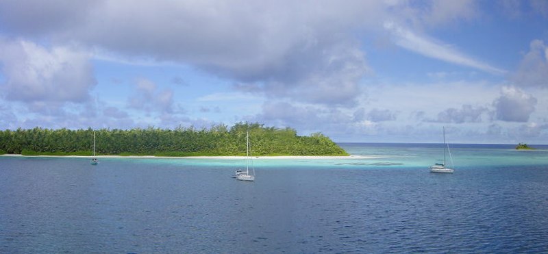
Français : Île Boddam et Île Diable, Îles Salomon, Territoire britannique de l'océan Indien
Date
Source Own work
Author Dunog
Camera location5° 21′ 30″ S, 72° 12′ 30″ E Kartographer map based on OpenStreetMap.View this and other nearby images on: OpenStreetMapinfo

Licensing

Public domain I, the copyright holder of this work, release this work into the public domain. This applies worldwide.
In some countries this may not be legally possible; if so:
I grant anyone the right to use this work for any purpose, without any conditions, unless such conditions are required by law.

Captions

Add a one-line explanation of what this file represents

Items portrayed in this file

depicts

August 2008

5°21'29.999"S, 72°12'29.999"E

image/jpeg

ae03455fcc2eb71b4f274ed85cd95bc3c1d77d8f

88,013 byte

383 pixel

825 pixel

File history

Click on a date/time to view the file as it appeared at that time.

Date/TimeThumbnailDimensionsUserComment
current14:45, 13 August 2008Thumbnail for version as of 14:45, 13 August 2008825 × 383 (86 KB)shared>Dunog{{Information |Description= |Source= |Date= |Author= |Permission= |other_versions= }}

The following page uses this file: