File:Bluebottle Grove, Colchester - geograph.org.uk - 142655.jpg
From Wikishire

Size of this preview: 450 × 600 pixels. Other resolution: 180 × 240 pixels.
Original file (480 × 640 pixels, file size: 143 KB, MIME type: image/jpeg)
Summary
| Description |
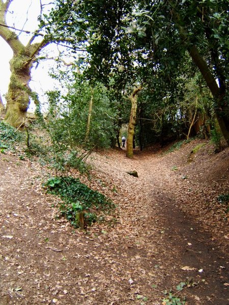
English: Bluebottle Grove, Colchester. This bank is an Iron Age earthwork that was part of the western defences of pre-roman Camvlodvnvm the capital for the Trinovantes tribe. The largest section of the Lexden earthworks still in existence is the Grymes Dyke see 142663 |
| Date | |
| Source | From geograph.org.uk |
| Author | Glyn Baker |
| Attribution (required by the license) | Glyn Baker / Bluebottle Grove, Colchester / |
| Camera location | | View this and other nearby images on: OpenStreetMap |
|---|
_&language=en)
| Object location | | View this and other nearby images on: OpenStreetMap |
|---|
_&language=en)
Licensing

|
This image was taken from the Geograph project collection. See this photograph's page on the Geograph website for the photographer's contact details. The copyright on this image is owned by Glyn Baker and is licensed for reuse under the Creative Commons Attribution-ShareAlike 2.0 license.
|
This file is licensed under the Creative Commons Attribution-Share Alike 2.0 Generic license.
Attribution: Glyn Baker
- You are free:
- to share – to copy, distribute and transmit the work
- to remix – to adapt the work
- Under the following conditions:
- attribution – You must give appropriate credit, provide a link to the license, and indicate if changes were made. You may do so in any reasonable manner, but not in any way that suggests the licensor endorses you or your use.
- share alike – If you remix, transform, or build upon the material, you must distribute your contributions under the same or compatible license as the original.
- Remove redundant categories and try to put this image in the most specific category/categories
- Remove this template
- The location categories are based on information from this geonames tool and this OpenStreetMap tool combined with a database. You can also have a look at this tool from mysociety.
- The topic category from Geograph was Earthworks (find similar images at Geograph)
File history
Click on a date/time to view the file as it appeared at that time.
| Date/Time | Thumbnail | Dimensions | User | Comment | |
|---|---|---|---|---|---|
| current | 05:26, 31 January 2010 | | 480 × 640 (143 KB) | GeographBot | == {{int:filedesc}} == {{Information |description={{en|1=Bluebottle Grove, Colchester. This bank is an Iron Age earthwork that was part of the western defences of pre-roman Camvlodvnvm the capital for the Trinovantes tribe. The largest section of the Lexd |
File usage
The following file is a duplicate of this file (more details):
- File:Bluebottle Grove, Colchester - geograph.org.uk - 142655.jpg from a shared repository
The following page links to this file: