File:Babbington Village - geograph.org.uk - 616504.jpg
From Wikishire
No higher resolution available.
Babbington_Village_-_geograph.org.uk_-_616504.jpg (640 × 466 pixels, file size: 41 KB, MIME type: image/jpeg)
Summary
| Description |
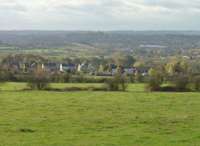
English: Babbington Village This is the view from the bridleway from Swingate. Although now agricultural this area was developed early with coal mines as the coal was close to the surface. Traces of the industry are now hard to find. |
| Date | |
| Source | From geograph.org.uk |
| Author | Alan Murray-Rust |
| Attribution (required by the license) | Alan Murray-Rust / Babbington Village / |
| Camera location | | View this and other nearby images on: OpenStreetMap |
|---|
_heading:225.00&language=en)
| Object location | | View this and other nearby images on: OpenStreetMap |
|---|
_heading:225.00&language=en)
Licensing

|
This image was taken from the Geograph project collection. See this photograph's page on the Geograph website for the photographer's contact details. The copyright on this image is owned by Alan Murray-Rust and is licensed for reuse under the Creative Commons Attribution-ShareAlike 2.0 license.
|
This file is licensed under the Creative Commons Attribution-Share Alike 2.0 Generic license.
Attribution: Alan Murray-Rust
- You are free:
- to share – to copy, distribute and transmit the work
- to remix – to adapt the work
- Under the following conditions:
- attribution – You must give appropriate credit, provide a link to the license, and indicate if changes were made. You may do so in any reasonable manner, but not in any way that suggests the licensor endorses you or your use.
- share alike – If you remix, transform, or build upon the material, you must distribute your contributions under the same or compatible license as the original.
File history
Click on a date/time to view the file as it appeared at that time.
| Date/Time | Thumbnail | Dimensions | User | Comment | |
|---|---|---|---|---|---|
| current | 01:54, 7 February 2011 | | 640 × 466 (41 KB) | GeographBot | == {{int:filedesc}} == {{Information |description={{en|1=Babbington Village This is the view from the bridleway from Swingate. Although now agricultural this area was developed early with coal mines as the coal was close to the surface. Traces of the indu |
File usage
The following file is a duplicate of this file (more details):
- File:Babbington Village - geograph.org.uk - 616504.jpg from a shared repository
The following page links to this file: