File:BARTON SWING AQUEDUCT 8.JPG
From Wikishire

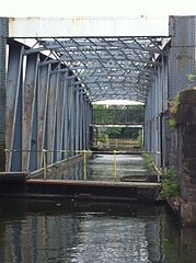
Size of this preview: 448 × 600 pixels. Other resolution: 179 × 240 pixels.
Original file (1,936 × 2,592 pixels, file size: 965 KB, MIME type: image/jpeg)
Summary
| Description |
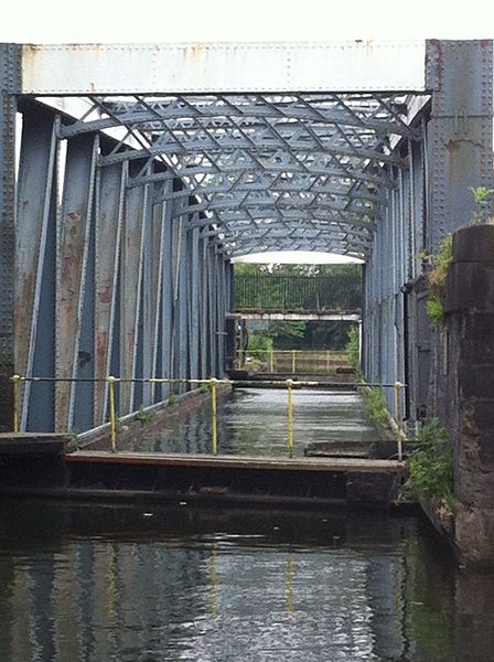
English: Barton swing aqueduct showing the two barriers which are extended across the waterway before the bridge is swung. The inner barrier is only extended part way. |
| Date | |
| Source | Boater's own photograph |
| Author | Ken Churchill |
| Camera location | | View this and other nearby images on: OpenStreetMap |
|---|
Licensing
| This work has been released into the public domain by its author, permission received from photographer nbhalcyon@yahoo.com. This applies worldwide. In some countries this may not be legally possible; if so: permission received from photographer nbhalcyon@yahoo.com grants anyone the right to use this work for any purpose, without any conditions, unless such conditions are required by law.
|
File history
Click on a date/time to view the file as it appeared at that time.
| Date/Time | Thumbnail | Dimensions | User | Comment | |
|---|---|---|---|---|---|
| current | 23:36, 30 June 2014 | | 1,936 × 2,592 (965 KB) | Chris55 | User created page with UploadWizard |
File usage
The following file is a duplicate of this file (more details):
- File:BARTON SWING AQUEDUCT 8.JPG from a shared repository
The following page links to this file: