File:BARTON SWING AQUEDUCT 3.JPG
From Wikishire

Size of this preview: 800 × 598 pixels. Other resolution: 320 × 239 pixels.
Original file (2,592 × 1,936 pixels, file size: 1.85 MB, MIME type: image/jpeg)
Summary
| Description |
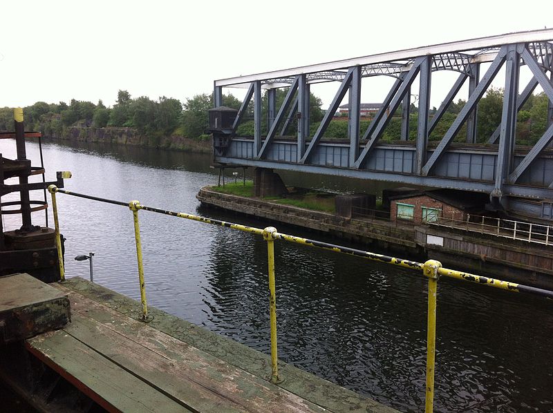
English: Barton swing aqueduct in open position. At this point transit through the Manchester Ship Canal is possible but not through the Bridgewater Canal |
| Date | |
| Source | Boater's own photograph |
| Author | Ken Churchill |
| Camera location | | View this and other nearby images on: OpenStreetMap |
|---|
Licensing
| This work has been released into the public domain by its author, permission received from photographer nbhalcyon@yahoo.com. This applies worldwide. In some countries this may not be legally possible; if so: permission received from photographer nbhalcyon@yahoo.com grants anyone the right to use this work for any purpose, without any conditions, unless such conditions are required by law.
|

|
The categories of this image need checking. You can do so here.
|
File history
Click on a date/time to view the file as it appeared at that time.
| Date/Time | Thumbnail | Dimensions | User | Comment | |
|---|---|---|---|---|---|
| current | 23:36, 30 June 2014 | | 2,592 × 1,936 (1.85 MB) | Chris55 | User created page with UploadWizard |
File usage
The following file is a duplicate of this file (more details):
- File:BARTON SWING AQUEDUCT 3.JPG from a shared repository
The following page links to this file: