File:Ashton Townscape 3654.JPG
From Wikishire

Size of this preview: 800 × 600 pixels. Other resolution: 320 × 240 pixels.
Original file (1,280 × 960 pixels, file size: 467 KB, MIME type: image/jpeg)
| Description |
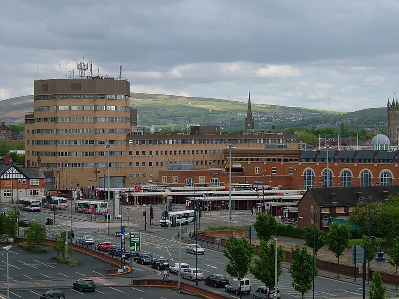
The townscape of Ashton-under-Lyne in Greater Manchester, England. This image centres on Tameside Council Offices, and was taken from IKEA Manchester. Longdendale is on the horizon.
|
||||
| Date | 18 July 2009 (upload date) | ||||
| Source | Own work | ||||
| Author | Clem Rutter, Rochester, Kent. |
This file is licensed under the Creative Commons Attribution 3.0 Unported license.
- You are free:
- to share – to copy, distribute and transmit the work
- to remix – to adapt the work
- Under the following conditions:
- attribution – You must give appropriate credit, provide a link to the license, and indicate if changes were made. You may do so in any reasonable manner, but not in any way that suggests the licensor endorses you or your use.
File history
Click on a date/time to view the file as it appeared at that time.
| Date/Time | Thumbnail | Dimensions | User | Comment | |
|---|---|---|---|---|---|
| current | 09:13, 19 July 2009 | | 1,280 × 960 (467 KB) | ClemRutter | {{Information |Description={{w|Ashton-under-Lyne}} in the {{w|Greater Manchester}}. Townscape. From IKEA roof. Bus station. Council Offices. Longdendale on Horizon {{location dec|53.4910|-2.0998}} |Source=Self made |Date=Uploaded 2009-07-18 |Author=Clem |
File usage
The following file is a duplicate of this file (more details):
- File:Ashton Townscape 3654.JPG from a shared repository
The following page links to this file: