File:AdelCrag2269a.jpg
From Wikishire

Size of this preview: 800 × 600 pixels. Other resolution: 320 × 240 pixels.
Original file (3,264 × 2,448 pixels, file size: 2.74 MB, MIME type: image/jpeg)
Summary
| Description |
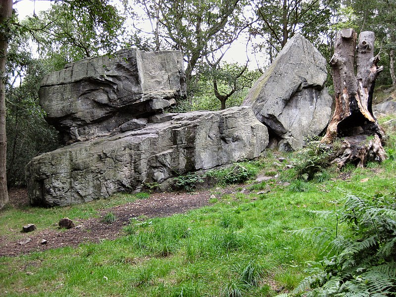
English: Adel Crag, an outcropping in North Leeds, also known as Alwoodley Crag. Between Stairfoot Lane and Crag Lane, Leeds LS17. Close to the Meanwood Valley Trail.In the 19th century a starting point for fox hunts. |
| Date | |
| Source | Own work |
| Author | Chemical Engineer |
| Camera location | | View this and other nearby images on: OpenStreetMap |
|---|
Licensing
| I, the copyright holder of this work, release this work into the public domain. This applies worldwide. In some countries this may not be legally possible; if so: I grant anyone the right to use this work for any purpose, without any conditions, unless such conditions are required by law. |
File history
Click on a date/time to view the file as it appeared at that time.
| Date/Time | Thumbnail | Dimensions | User | Comment | |
|---|---|---|---|---|---|
| current | 20:21, 31 July 2009 | | 3,264 × 2,448 (2.74 MB) | Chemical Engineer | {{Information |Description={{en|1=Adel Crag, an outcropping in North Leeds, also known as Alwoodley Crag. Between Stairfoot Lane and Crag Lane, Leeds LS17. Close to the Meanwood Valley Trail.In the 19th century a starting point for fox hunts.}} |Source=O |
File usage
The following file is a duplicate of this file (more details):
- File:AdelCrag2269a.jpg from a shared repository
The following page links to this file: