File:A "Brown flood" on the Mourne at Victoria Bridge. - geograph.org.uk - 434468.jpg
From Wikishire
No higher resolution available.
A_"Brown_flood"_on_the_Mourne_at_Victoria_Bridge._-_geograph.org.uk_-_434468.jpg (640 × 426 pixels, file size: 104 KB, MIME type: image/jpeg)
Summary
| Description |
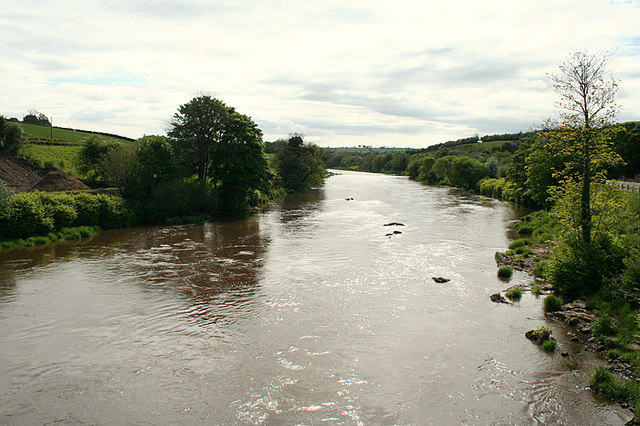
English: A "Brown flood" on the Mourne at Victoria Bridge. When in spate the locals refer to the condition as a "Brown flood" and it's then the worms are in demand being the most fruitful bait for trout and salmon when the water is thus.This particular beat was once the haunt of a former Northern Ireland prime minister and also myself and pals when noone was looking, especially Paddy McGuigan the water bailiff!!! |
| Date | |
| Source | From geograph.org.uk |
| Author | Des Colhoun |
| Attribution (required by the license) | Des Colhoun / A "Brown flood" on the Mourne at Victoria Bridge. / |
| Camera location | | View this and other nearby images on: OpenStreetMap |
|---|
_heading:112.00&language=en)
| Object location | | View this and other nearby images on: OpenStreetMap |
|---|
_heading:112.00&language=en)
Licensing

|
This image was taken from the Geograph project collection. See this photograph's page on the Geograph website for the photographer's contact details. The copyright on this image is owned by Des Colhoun and is licensed for reuse under the Creative Commons Attribution-ShareAlike 2.0 license.
|
This file is licensed under the Creative Commons Attribution-Share Alike 2.0 Generic license.
Attribution: Des Colhoun
- You are free:
- to share – to copy, distribute and transmit the work
- to remix – to adapt the work
- Under the following conditions:
- attribution – You must give appropriate credit, provide a link to the license, and indicate if changes were made. You may do so in any reasonable manner, but not in any way that suggests the licensor endorses you or your use.
- share alike – If you remix, transform, or build upon the material, you must distribute your contributions under the same or compatible license as the original.
File history
Click on a date/time to view the file as it appeared at that time.
| Date/Time | Thumbnail | Dimensions | User | Comment | |
|---|---|---|---|---|---|
| current | 06:58, 4 February 2011 | | 640 × 426 (104 KB) | GeographBot | == {{int:filedesc}} == {{Information |description={{en|1=A "Brown flood" on the Mourne at Victoria Bridge. When in spate the locals refer to the condition as a "Brown flood" and it's then the worms are in demand being the most fruitful bait for trout and |
File usage
The following file is a duplicate of this file (more details):
- File:A "Brown flood" on the Mourne at Victoria Bridge. - geograph.org.uk - 434468.jpg from a shared repository
The following page links to this file: