File:130707 Creise.jpg
From Wikishire
Size of this preview: 800 × 505 pixels. Other resolution: 320 × 202 pixels.
Original file (3,264 × 2,060 pixels, file size: 1.85 MB, MIME type: image/jpeg)
Summary
| Description |
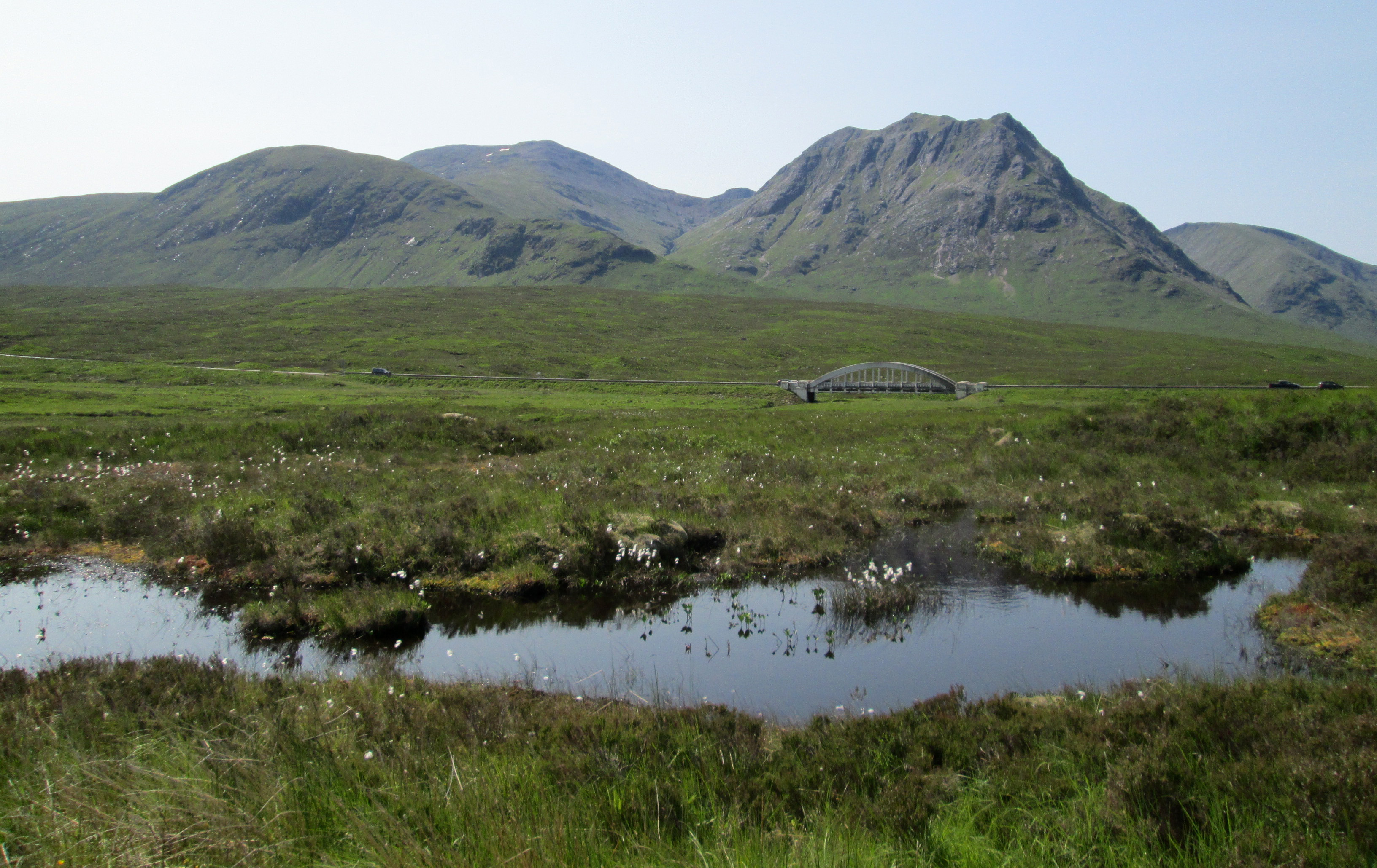
English: Creise seen from the West Highland Way at the entrance to Glen Coe, with Meall a' Bhùiridh to the left. |
| Date | |
| Source | Own work |
| Author | Dave souza |
| Camera location | | View this and other nearby images on: OpenStreetMap |
|---|
Licensing
I, the copyright holder of this work, hereby publish it under the following license:
This file is licensed under the Creative Commons Attribution-Share Alike 3.0 Unported license.
- You are free:
- to share – to copy, distribute and transmit the work
- to remix – to adapt the work
- Under the following conditions:
- attribution – You must give appropriate credit, provide a link to the license, and indicate if changes were made. You may do so in any reasonable manner, but not in any way that suggests the licensor endorses you or your use.
- share alike – If you remix, transform, or build upon the material, you must distribute your contributions under the same or compatible license as the original.
File history
Click on a date/time to view the file as it appeared at that time.
| Date/Time | Thumbnail | Dimensions | User | Comment | |
|---|---|---|---|---|---|
| current | 17:53, 9 July 2013 | | 3,264 × 2,060 (1.85 MB) | Dave souza | upload wiz got wrong file last time! |
File usage
The following file is a duplicate of this file (more details):
- File:130707 Creise.jpg from a shared repository
The following page links to this file: