File:Écréhous location map.svg
From Wikishire

Size of this preview: 458 × 599 pixels. Other resolution: 183 × 240 pixels.
Original file (SVG file, nominally 1,300 × 1,700 pixels, file size: 136 KB)
Summary
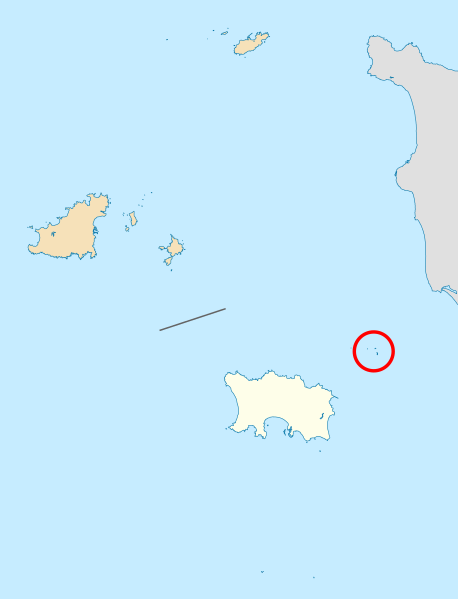
| Description | Location of Les Écréhous, north-east of Jersey | ||
| Date | |||
| Source | Jersey location map.svg | ||
| Author |
|
||
| Permission (Reusing this file) |
|
File history
Click on a date/time to view the file as it appeared at that time.
| Date/Time | Thumbnail | Dimensions | User | Comment | |
|---|---|---|---|---|---|
| current | 21:55, 8 April 2020 | | 1,300 × 1,700 (136 KB) | Hogweard | == {{int:filedesc}} == {{Information |description=Location of Les Écréhous, north-east of Jersey |date=2020-04-08 |source={{f|Jersey location map.svg}} |author= *{{f|Jersey location map.svg}}: {{u|Xfigpower}} *Derivative work: {{u|Hogweard}} |permission={{PD-self}} |other versions= }} Category:Locator maps of Jersey Category:Écréhous |
File usage
The following file is a duplicate of this file (more details):
- File:Écréhous location map.svg from a shared repository
The following page links to this file: