Hermitage, Roxburghshire
From Wikishire
| Hermitage | |
| Roxburghshire | |
|---|---|
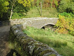
 Bridge on the Whitrope Burn at Hermitage | |
| Location | |
| Grid reference: | NY504957 |
| Location: | 55°15’11"N, 2°46’49"W |
| Data | |
| Post town: | Hawick |
| Postcode: | TD9 |
| Local Government | |
| Council: | Scottish Borders |
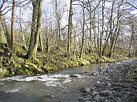
Hermitage is a village near Newcastleton, on the B6399, in Roxburghshire. The Hermitage Water is joined here by the Whitrope Burn, and turns southward.
Outside links
This Roxburghshire article is a stub: help to improve Wikishire by building it up.
