File:WatfordSkyline.jpg
From Wikishire
Size of this preview: 800 × 148 pixels. Other resolution: 320 × 59 pixels.
Original file (1,593 × 295 pixels, file size: 314 KB, MIME type: image/jpeg)
Summary
| Description |
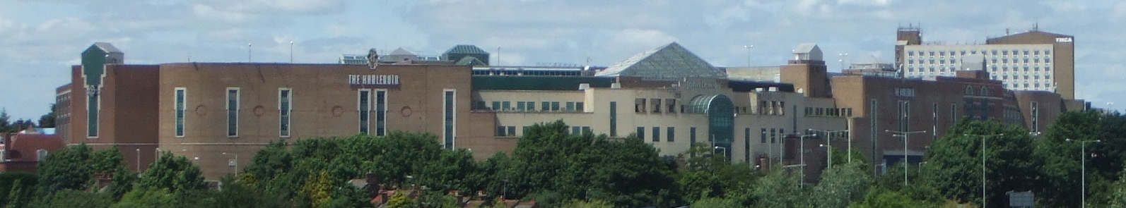
English: The town of Watford in Hertfordshire, England, UK, viewed from the West Coast Main Line to the southeast. |
| Source | Own work |
| Author | Kanguole |
| Camera location | | View this and other nearby images on: OpenStreetMap |
|---|
_region:GB-HRT_&language=en)
Licensing
| I, the copyright holder of this work, release this work into the public domain. This applies worldwide. In some countries this may not be legally possible; if so: I grant anyone the right to use this work for any purpose, without any conditions, unless such conditions are required by law. |
File history
Click on a date/time to view the file as it appeared at that time.
| Date/Time | Thumbnail | Dimensions | User | Comment | |
|---|---|---|---|---|---|
| current | 12:30, 23 June 2008 | 1,593 × 295 (314 KB) | Kanguole | {{Information |Description=The town of Watford in Hertfordshire, England, UK, viewed from the West Coast Main Line to the southeast |Source= |Date=2008-06-23 |Author=Kanguole |Permission= |other_versions= }} Category:Watford |
File usage
The following file is a duplicate of this file (more details):
- File:WatfordSkyline.jpg from a shared repository
The following page links to this file: