File:UpnorLower Medway1.jpg
From Wikishire
Size of this preview: 800 × 594 pixels. Other resolution: 320 × 237 pixels.
Original file (1,972 × 1,463 pixels, file size: 314 KB, MIME type: image/jpeg)
Summary
| Description |
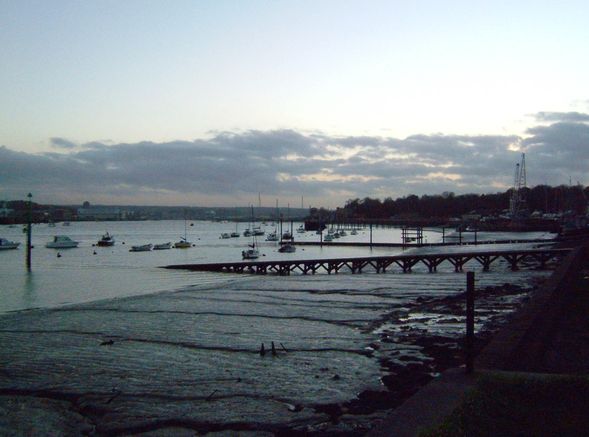
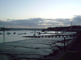
Autumn Dusk from Lower Upnor in front of the London Stones, vista of mud and yachts, on the left bank is Chatham Dockyard, on the right the Royal Engineers Hard, with Upnor Castle on the treeline. A study of a tidal river at low tide.
|
||||
| Date | |||||
| Source | Own work | ||||
| Author | Clem Rutter, Rochester, Kent. |
Licensing
This file is licensed under the Creative Commons Attribution 2.5 Generic license.
- You are free:
- to share – to copy, distribute and transmit the work
- to remix – to adapt the work
- Under the following conditions:
- attribution – You must give appropriate credit, provide a link to the license, and indicate if changes were made. You may do so in any reasonable manner, but not in any way that suggests the licensor endorses you or your use.
File history
Click on a date/time to view the file as it appeared at that time.
| Date/Time | Thumbnail | Dimensions | User | Comment | |
|---|---|---|---|---|---|
| current | 15:57, 7 December 2006 | | 1,972 × 1,463 (314 KB) | ClemRutter | {{Information |Description=Autumn Dusk from Lower Upnor in front of the London Stones, vista of mud and yachts, on the left bank is Chatham Dockyard, on the right the Royal Engineers Hard, with Upnor Castle on the treeline. A study of a tidal river at low |
File usage
The following file is a duplicate of this file (more details):
- File:UpnorLower Medway1.jpg from a shared repository
The following page links to this file: