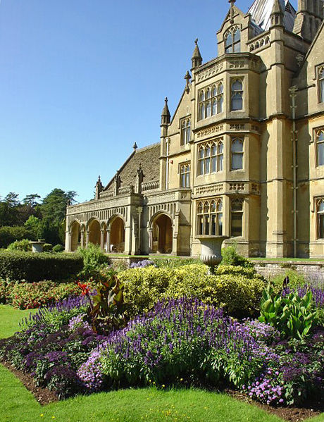
File:Tyntesfield 1.jpg
From Wikishire

Size of this preview: 460 × 599 pixels. Other resolution: 184 × 240 pixels.
Original file (477 × 621 pixels, file size: 290 KB, MIME type: image/jpeg)
Summary
| Description | |
| Date | |
| Source | From geograph.org.uk |
| Author | Dave Bushell |
| Other versions |
 |
| Camera location | | View this and other nearby images on: OpenStreetMap |
|---|

|
This image was taken from the Geograph project collection. See this photograph's page on the Geograph website for the photographer's contact details. The copyright on this image is owned by Dave Bushell and is licensed for reuse under the Creative Commons Attribution-ShareAlike 2.0 license.
|
This file is licensed under the Creative Commons Attribution-Share Alike 2.0 Generic license.
Attribution: Dave Bushell
- You are free:
- to share – to copy, distribute and transmit the work
- to remix – to adapt the work
- Under the following conditions:
- attribution – You must give appropriate credit, provide a link to the license, and indicate if changes were made. You may do so in any reasonable manner, but not in any way that suggests the licensor endorses you or your use.
- share alike – If you remix, transform, or build upon the material, you must distribute your contributions under the same or compatible license as the original.
File history
Click on a date/time to view the file as it appeared at that time.
| Date/Time | Thumbnail | Dimensions | User | Comment | |
|---|---|---|---|---|---|
| current | 17:36, 11 January 2008 | | 477 × 621 (290 KB) | Steinsky | rotated a few degrees clockwise and v small tweak to exposure |
File usage
The following file is a duplicate of this file (more details):
- File:Tyntesfield 1.jpg from a shared repository
The following 2 pages link to this file: