File:Tombolo St Ninians 5940.JPG
From Wikishire

Size of this preview: 800 × 600 pixels. Other resolution: 320 × 240 pixels.
Original file (2,048 × 1,536 pixels, file size: 624 KB, MIME type: image/jpeg)
Summary
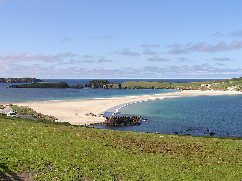
| Description | Sandstrand wie in der Karibik - Tombolo zwischen Mainland und St. Ninian's Isle, Shetland |
| Date | |
| Source | Own work |
| Author | ThoWi |
| Camera location | | View this and other nearby images on: OpenStreetMap |
|---|
Licensing
| I, the copyright holder of this work, release this work into the public domain. This applies worldwide. In some countries this may not be legally possible; if so: I grant anyone the right to use this work for any purpose, without any conditions, unless such conditions are required by law. |
File history
Click on a date/time to view the file as it appeared at that time.
| Date/Time | Thumbnail | Dimensions | User | Comment | |
|---|---|---|---|---|---|
| current | 08:38, 27 July 2006 | | 2,048 × 1,536 (624 KB) | ThoWi~commonswiki | {{Information |Description= Sandstrand wie in der Karibik - Tombolo zwischen Mainland und St. Ninian's Isle, Shetland |Source= Eigenes Werk |Date= 24.Mai 2006 |Author= ThoWi |Permission= Eigenes Werk }} |
File usage
The following file is a duplicate of this file (more details):
- File:Tombolo St Ninians 5940.JPG from a shared repository
The following page links to this file: