File:Strait of Dover MODIS.jpg
From Wikishire

Size of this preview: 600 × 600 pixels. Other resolution: 240 × 240 pixels.
Original file (1,600 × 1,600 pixels, file size: 1.21 MB, MIME type: image/jpeg)
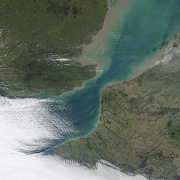
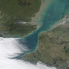
| Description | NASA MODIS satellite imagery of the Strait of Dover, the narrowest part of the English Channel. | |||||
| Date | ||||||
| Source | NASA Visible Earth, original image | |||||
| Author | NASA | |||||
| Permission (Reusing this file) |
|

File history
Click on a date/time to view the file as it appeared at that time.
| Date/Time | Thumbnail | Dimensions | User | Comment | |
|---|---|---|---|---|---|
| current | 00:02, 4 November 2006 | | 1,600 × 1,600 (1.21 MB) | Coredesat | {{Information |Description=NASA MODIS satellite imagery of the Strait of Dover, the narrowest part of the English Channel. |Source=[http://visibleearth.nasa.gov/view_detail.php?id=4664 NASA Visible Earth], [http |
File usage
The following file is a duplicate of this file (more details):
- File:Strait of Dover MODIS.jpg from a shared repository
The following page links to this file: