File:Earlswood chapel.jpg
From Wikishire
Size of this preview: 450 × 600 pixels. Other resolution: 180 × 240 pixels.
Original file (480 × 640 pixels, file size: 92 KB, MIME type: image/jpeg)
Summary
| Description |
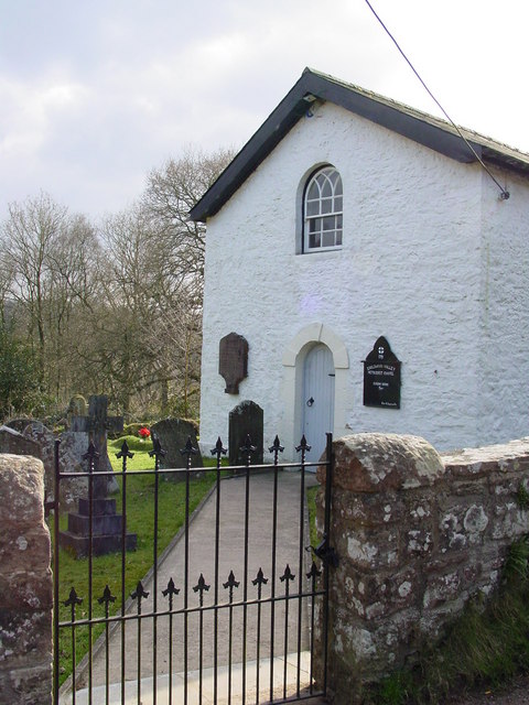
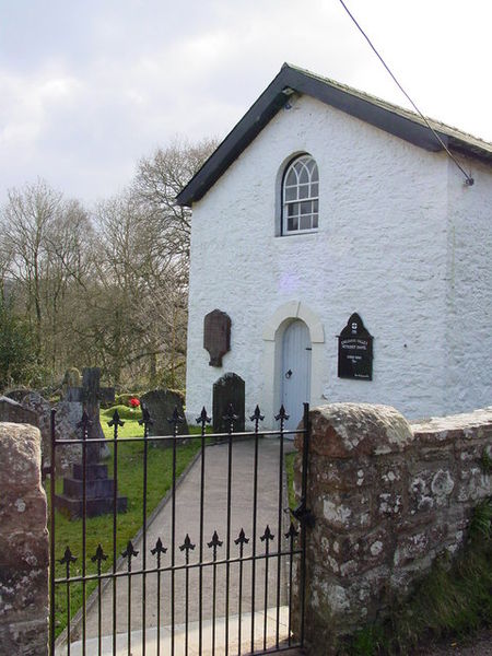
English: Earlswood Valley Methodist Chapel. |
| Date | |
| Source | see below |
| Author | Colin Park |
| Camera location | | View this and other nearby images on: OpenStreetMap |
|---|
Licensing

|
This image was taken from the Geograph project collection. See this photograph's page on the Geograph website for the photographer's contact details. The copyright on this image is owned by Colin Park and is licensed for reuse under the Creative Commons Attribution-ShareAlike 2.0 license.
|
This file is licensed under the Creative Commons Attribution-Share Alike 2.0 Generic license.
Attribution: Colin Park
- You are free:
- to share – to copy, distribute and transmit the work
- to remix – to adapt the work
- Under the following conditions:
- attribution – You must give appropriate credit, provide a link to the license, and indicate if changes were made. You may do so in any reasonable manner, but not in any way that suggests the licensor endorses you or your use.
- share alike – If you remix, transform, or build upon the material, you must distribute your contributions under the same or compatible license as the original.
File history
Click on a date/time to view the file as it appeared at that time.
| Date/Time | Thumbnail | Dimensions | User | Comment | |
|---|---|---|---|---|---|
| current | 22:36, 19 October 2008 | | 480 × 640 (92 KB) | Ghmyrtle | {{Information |Description={{en|1={{Information |Description=Earlswood Valley Methodist Chapel |Source=From [http://www.geograph.org.uk/photo/128487 geograph.org.uk] |Date=2006-02-20 |Author=[http://www.geograph.org.uk/profile/4335 Colin Park] |Permission |
File usage
The following file is a duplicate of this file (more details):
- File:Earlswood chapel.jpg from a shared repository
The following page links to this file: