File:Common Quay, Ipswich Docks - geograph.org.uk - 1077476.jpg
From Wikishire

Size of this preview: 400 × 600 pixels. Other resolution: 160 × 240 pixels.
Original file (427 × 640 pixels, file size: 80 KB, MIME type: image/jpeg)
Summary
| Description |
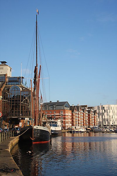
English: Common Quay, Ipswich Docks This section of quay, which used to form the north bank of the River Orwell prior to the building of the Wet Dock in 1851, is the oldest quay in the port. Old paintings dating from the 1600s show this quay complete with a manually-operated crane. |
| Date | |
| Source | From geograph.org.uk |
| Author | Bob Jones |
| Attribution (required by the license) | Bob Jones / Common Quay, Ipswich Docks / |
| Camera location | | View this and other nearby images on: OpenStreetMap |
|---|
_heading:67.00&language=en)
| Object location | | View this and other nearby images on: OpenStreetMap |
|---|
_heading:67.00&language=en)
Licensing

|
This image was taken from the Geograph project collection. See this photograph's page on the Geograph website for the photographer's contact details. The copyright on this image is owned by Bob Jones and is licensed for reuse under the Creative Commons Attribution-ShareAlike 2.0 license.
|
This file is licensed under the Creative Commons Attribution-Share Alike 2.0 Generic license.
Attribution: Bob Jones
- You are free:
- to share – to copy, distribute and transmit the work
- to remix – to adapt the work
- Under the following conditions:
- attribution – You must give appropriate credit, provide a link to the license, and indicate if changes were made. You may do so in any reasonable manner, but not in any way that suggests the licensor endorses you or your use.
- share alike – If you remix, transform, or build upon the material, you must distribute your contributions under the same or compatible license as the original.
File history
Click on a date/time to view the file as it appeared at that time.
| Date/Time | Thumbnail | Dimensions | User | Comment | |
|---|---|---|---|---|---|
| current | 07:00, 24 February 2011 | | 427 × 640 (80 KB) | GeographBot | == {{int:filedesc}} == {{Information |description={{en|1=Common Quay, Ipswich Docks This section of quay, which used to form the north bank of the River Orwell prior to the building of the Wet Dock in 1851, is the oldest quay in the port. Old paintings da |
File usage
The following file is a duplicate of this file (more details):
- File:Common Quay, Ipswich Docks - geograph.org.uk - 1077476.jpg from a shared repository
The following page links to this file: