File:Cemetery by Wardlaw Mausoleum, Kirkhill - geograph.org.uk - 1754789.jpg
From Wikishire

Size of this preview: 800 × 369 pixels. Other resolution: 320 × 148 pixels.
Original file (4,761 × 2,196 pixels, file size: 590 KB, MIME type: image/jpeg)
Summary
| Description |
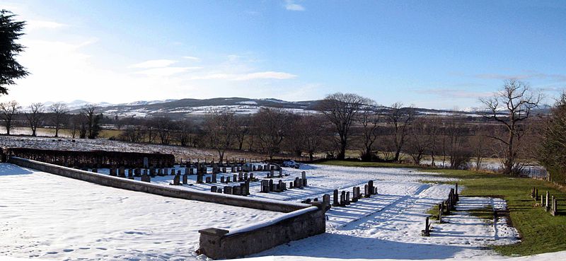
English: Cemetery by Wardlaw Mausoleum, Kirkhill The cemetery is outside the churchyard to the west. In the dark band of trees across the middle of the image you can see glimpses of the River Beauly very near to its mouth. Beyond the river is the hamlet of Barnyards, between Beauly and Muir of Ord. |
| Date | |
| Source | From geograph.org.uk |
| Author | Les Shaw |
| Attribution (required by the license) | Les Shaw / Cemetery by Wardlaw Mausoleum, Kirkhill / |
| Camera location | | View this and other nearby images on: OpenStreetMap |
|---|
_heading:292.00&language=en)
| Object location | | View this and other nearby images on: OpenStreetMap |
|---|
_heading:292.00&language=en)
Licensing

|
This image was taken from the Geograph project collection. See this photograph's page on the Geograph website for the photographer's contact details. The copyright on this image is owned by Les Shaw and is licensed for reuse under the Creative Commons Attribution-ShareAlike 2.0 license.
|
This file is licensed under the Creative Commons Attribution-Share Alike 2.0 Generic license.
Attribution: Les Shaw
- You are free:
- to share – to copy, distribute and transmit the work
- to remix – to adapt the work
- Under the following conditions:
- attribution – You must give appropriate credit, provide a link to the license, and indicate if changes were made. You may do so in any reasonable manner, but not in any way that suggests the licensor endorses you or your use.
- share alike – If you remix, transform, or build upon the material, you must distribute your contributions under the same or compatible license as the original.
File history
Click on a date/time to view the file as it appeared at that time.
| Date/Time | Thumbnail | Dimensions | User | Comment | |
|---|---|---|---|---|---|
| current | 22:16, 5 March 2011 | | 4,761 × 2,196 (590 KB) | GeographBot | == {{int:filedesc}} == {{Information |description={{en|1=Cemetery by Wardlaw Mausoleum, Kirkhill The cemetery is outside the churchyard to the west. In the dark band of trees across the middle of the image you can see glimpses of the River Beauly very nea |
File usage
The following file is a duplicate of this file (more details):
- File:Cemetery by Wardlaw Mausoleum, Kirkhill - geograph.org.uk - 1754789.jpg from a shared repository
The following page links to this file: