File:British Antarctic Territory top.svg
From Wikishire

Size of this preview: 421 × 599 pixels. Other resolution: 169 × 240 pixels.
Original file (SVG file, nominally 900 × 1,280 pixels, file size: 1.04 MB)
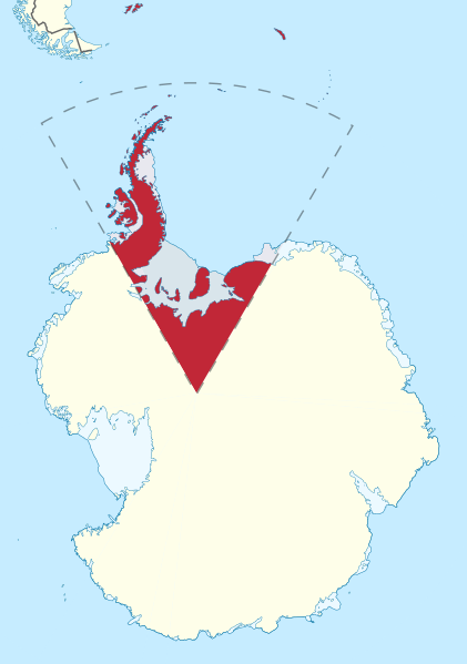
| Description | Location map of the British Antarctic Territory |
| Date | |
| Source |
This file was derived from: British Antarctic Territory in Antarctica.svg |
| Author |
|
| This is a retouched picture, which means that it has been digitally altered from its original version. Modifications: Redrew border and removed irrel borders, tidied nodes, shading etc, rotated so BAT at the top. The original can be viewed here: British Antarctic Territory in Antarctica.svg:
|
| I, the copyright holder of this work, release this work into the public domain. This applies worldwide. In some countries this may not be legally possible; if so: I grant anyone the right to use this work for any purpose, without any conditions, unless such conditions are required by law. |
File history
Click on a date/time to view the file as it appeared at that time.
| Date/Time | Thumbnail | Dimensions | User | Comment | |
|---|---|---|---|---|---|
| current | 20:26, 22 December 2012 | | 900 × 1,280 (1.04 MB) | Hogweard | {{Information |Description=Location map of the British Antarctic Territory |Source={{Derived from|British Antarctic Territory in Antarctica.svg}} |Date=2012-12-22 |Author=*[[:File:British Antarctic Territory in Antarctica.svg|British Antarctic Territor... |
File usage
The following file is a duplicate of this file (more details):
- File:British Antarctic Territory top.svg from a shared repository
The following page links to this file: