Bramfield, Hertfordshire
From Wikishire
Revision as of 21:07, 17 June 2012 by RB (Talk | contribs) (Created page with '{{Infobox town |name=Bramfield |county=Hertfordshire |picture=St Andrew, Bramfield, Herts - geograph.org.uk - 367941.jpg |picture caption=St Andrew, Bramfield |os grid ref=TL2901…')
| Bramfield | |
| Hertfordshire | |
|---|---|
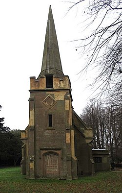
 St Andrew, Bramfield | |
| Location | |
| Grid reference: | TL290157 |
| Location: | 51°49’31"N, 0°7’42"W |
| Data | |
| Postcode: | SG14 |
| Local Government | |
| Council: | East Hertfordshire |
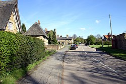
Bramfield is a village in Hertfordshire, in the green gap between Welwyn Garden City and Hertford.
Nearby villages include Waterford and Stapleford.
The parish church is St Andrew's.[1]
Outside links
- British History Online
- http://www.hertfordshire-genealogy.co.uk/links/bramfield.htm
- Listed buildings in Bramfield
References
- ↑ A Church Near You - Bramfield
