File:SettValleyTrail.JPG
From Wikishire

Size of this preview: 800 × 600 pixels. Other resolution: 320 × 240 pixels.
Original file (1,280 × 960 pixels, file size: 326 KB, MIME type: image/jpeg)
Summary
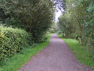
| Description | Sett Valley Trail near Birch Vale |
| Date | |
| Source | Own work |
| Author | Dave Dunford |
| Permission (Reusing this file) |
Own work, all rights release (Public domain) |
| Camera location | | View this and other nearby images on: OpenStreetMap |
|---|
Licensing
| I, the copyright holder of this work, release this work into the public domain. This applies worldwide. In some countries this may not be legally possible; if so: I grant anyone the right to use this work for any purpose, without any conditions, unless such conditions are required by law. |
File history
Click on a date/time to view the file as it appeared at that time.
| Date/Time | Thumbnail | Dimensions | User | Comment | |
|---|---|---|---|---|---|
| current | 16:29, 7 April 2006 | | 1,280 × 960 (326 KB) | Dave.Dunford | ({{Information| |Description=Sett Valley Trail near Birch Vale |Source=Own work |Date=2005-09-05 |Author=Dave Dunford |Permission=Own work, all rights release (Public domain) |other_versions= }} |
File usage
The following file is a duplicate of this file (more details):
- File:SettValleyTrail.JPG from a shared repository
The following page links to this file: