File:Village sign detail, Baston, Lincs - geograph.org.uk - 453235.jpg
From Wikishire
No higher resolution available.
Village_sign_detail,_Baston,_Lincs_-_geograph.org.uk_-_453235.jpg (640 × 470 pixels, file size: 310 KB, MIME type: image/jpeg)
Summary
| Description |
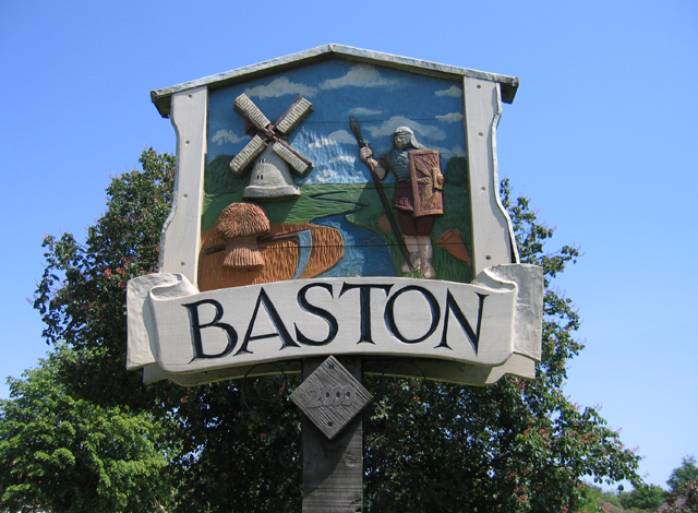
English: Village sign detail, Baston, Lincs The south-west facing side depicts a Roman soldier, agriculture and Hudson's corn mill; the Roman road King Street and the Car Dyke canal both pass by the village. |
| Date | |
| Source | From geograph.org.uk |
| Author | Rodney Burton |
| Attribution (required by the license) | Rodney Burton / Village sign detail, Baston, Lincs / |
| Object location | | View this and other nearby images on: OpenStreetMap |
|---|
_heading:45.00&language=en)
Licensing

|
This image was taken from the Geograph project collection. See this photograph's page on the Geograph website for the photographer's contact details. The copyright on this image is owned by Rodney Burton and is licensed for reuse under the Creative Commons Attribution-ShareAlike 2.0 license.
|
This file is licensed under the Creative Commons Attribution-Share Alike 2.0 Generic license.
Attribution: Rodney Burton
- You are free:
- to share – to copy, distribute and transmit the work
- to remix – to adapt the work
- Under the following conditions:
- attribution – You must give appropriate credit, provide a link to the license, and indicate if changes were made. You may do so in any reasonable manner, but not in any way that suggests the licensor endorses you or your use.
- share alike – If you remix, transform, or build upon the material, you must distribute your contributions under the same or compatible license as the original.
File history
Click on a date/time to view the file as it appeared at that time.
| Date/Time | Thumbnail | Dimensions | User | Comment | |
|---|---|---|---|---|---|
| current | 16:46, 4 February 2011 | | 640 × 470 (310 KB) | GeographBot | == {{int:filedesc}} == {{Information |description={{en|1=Village sign detail, Baston, Lincs The south-west facing side depicts a Roman soldier, agriculture and Hudson's corn mill; the Roman road King Street and the Car Dyke canal both pass by the village. |
File usage
The following file is a duplicate of this file (more details):
- File:Village sign detail, Baston, Lincs - geograph.org.uk - 453235.jpg from a shared repository
The following page links to this file: